
Walk a Pemberton Township Street
The most reliable Pemberton Township street directory workflow begins with the place itself. Write down the exact address, postal city, ZIP, legal municipality, block, lot, and any lot qualifier. Postal information helps normalize the address, but it does not establish a person’s location. Parcel geometry helps locate land, but it does not establish title. Tax records and recorded instruments add useful names, yet each name has a role and date. Keeping those layers separate prevents an address search from turning a mailing contact or former deed party into a claimed resident.
- Use the USPS address result and New Jersey Municipality Lookup to check the postal label and legal municipality. Select Pemberton Township, not Pemberton Borough, when the parcel belongs in the Township.
- Find the parcel through the Pemberton Township WIPP property-tax portal, the state Property Explorer, or the county GIS method. Record the block and lot rather than guessing from a street name.
- Search Burlington County PRESS by municipality, block, and lot for records dated from March 1, 2012 forward. Note the latest deed or related instrument, its parties, and its recording date.
- For earlier title work, search the named party and follow the grantor and grantee trail. PRESS identifies 1965 through February 2012 as owner-name-only, while older material moves to the archive viewer.
- Use library, newspaper, map, and directory leads only as dated household evidence. A verified directory shelf may help with a past address, but no stable Pemberton criss-cross entry was located in this research pass.
That sequence keeps the address trail focused on what each source can actually answer. A current address can lead to a parcel and an instrument. It cannot, by itself, name all present occupants.
Pemberton Township Street Labels
Address normalization matters in Pemberton Township because a Pemberton postal label is not the same thing as a legal municipality. Common postal clues include 08015 for Browns Mills, 08068 for Pemberton, and 08064 for New Lisbon. The same general place name can also lead to Pemberton Borough. Use the USPS ZIP Lookup for an address result, then use the New Jersey Municipality Lookup and the parcel record to confirm the Township relationship.
The USPS tool warns that a ZIP result does not verify where a person or company is located. Treat ZIP, city, and street information as address metadata. It is useful for choosing the right parcel search, especially where rural, lake-community, village, and Borough labels meet. It is not a resident roll.
Note: Keep the original postal wording in historical notes, then add the current legal municipality after it has been checked against a parcel or official lookup.
Pemberton Township Parcel Search Keys
The county GIS guide provides a local parcel-locator example, 0329-823.01-16. In that teaching example, 03 is the county code and 29 identifies Pemberton Township, followed by the block and lot. The format is a practical way to carry an address into a parcel or PRESS search. It is an example from the guide, not a parcel identifier for a particular house.
The Burlington County Assessors and Collectors directory links to Pemberton’s WIPP property-tax portal. WIPP was JavaScript-rendered during research, so its current form labels, filters, result fields, and exports were not verified. Use it to obtain a municipal tax or assessment clue, but do not assume it offers a particular street filter or that it supplies a complete ownership history.
- Parcel
- A defined piece of land used for tax and mapping purposes. A parcel can be searched by block and lot even when street wording varies.
- Situs address
- The physical location assigned to the parcel. It can differ from the owner or taxpayer mailing address.
- Plat
- A recorded map or plan that depicts land divisions. The County Clerk notes that maps before 1995 are not available in PRESS.
- Criss-cross directory
- A reverse directory arranged by address rather than surname. No stable Pemberton Township entry was verified in the available research.
Pemberton Township GIS Street Layers
The county’s GIS data-download page identifies a Pemberton Township parcel file named pember.shp. Its tax-lot boundaries are dated December 2015 and include NEWGISID, a link to MOD4-style GIS data. County material says the parcel layer was created in 2001 and updated by county GIS in 2006. Those dates describe the file’s provenance. They do not turn it into a current ownership roll.
The county GIS status page says the public Property Viewer Web Map and Mapping Application are offline. The official Engineering Mapping Application guide remains useful for its documented street workflow, including parcel locator and geocoder choices, layers, pop-ups, attribute tables, filters, and CSV export. When the live viewer is unavailable, use the download, the municipal assessor counter, or Burlington County GIS at 609-265-5125 rather than assuming a map result is live.
County road, waterbody, Pinelands, abandoned-rail, highway-overlay, address-number, and property-boundary layers can add geographic context around a Pemberton Township street. They do not identify occupants. A nearby parcel may be separated by water, a road jurisdiction, or a municipal line even when it looks close on a map.
For a view of the county’s available data path, see the Burlington County GIS downloads reference below.
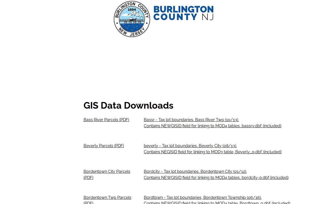
The download page is most useful as a documented fallback while the public viewer status remains offline. Attach the file’s vintage to every street-level observation drawn from it.
Pemberton Township Address Records
An address-led search becomes stronger when the address-keyed sources are compared rather than collapsed into one answer. The table distinguishes geometry, assessment, recorded parties, and historical clues. It also shows why an owner name, tax mailing address, and resident are not interchangeable labels.
| Address Record | Custodian | Street-Level Value | Access Route |
|---|---|---|---|
| Tax and assessment record | Pemberton Township WIPP / municipal assessor | Tax owner or taxpayer, mailing clue, assessment context | WIPP, assessor counter, or written request for existing records |
| Parcel geometry | Burlington County GIS | Block, lot, boundaries, roads, and mapped context | Guide, download, County GIS, or assessor-map fallback |
| Recorded land instruments | Burlington County Clerk PRESS | Grantor, grantee, document type, recording date, book/page | Remote index, archive viewer, or Clerk public computers |
| Postal normalization | USPS and state municipality lookup | Street, postal city, ZIP, and municipality check | Official online tools |
| Historic household clues | BCLS, archives, historical collections | Dated newspaper, map, census, or directory lead | Library databases, microfilm, catalog, and archive research |
A parcel number can connect the WIPP or GIS layer to a recent deed search. The street spelling then helps with postal and historical searching. Keep a source date beside every finding. This makes it clear whether a result concerns a current assessment, a dated recorded transaction, or a historical household clue.
Pemberton Township PRESS Record Searches
The Burlington County PRESS index is the county route for recorded land instruments. Choose PEMBERTON TWP, not PEMBERTON BORO. The clerk’s guidance says post-March 1, 2012 recordings may be searched by block and lot or property-owner name. From March 1, 1965 through February 2012, the search is owner-name-only. Pre-1965 records are in the archive viewer and are also owner-name-only.
| PRESS search field | How the official interface describes it |
|---|---|
| By Document Type: Municipality | Required for that mode. Select PEMBERTON TWP, then choose a document type and optional date range. |
| By Block and Lot: Municipality and Block | Required for that mode. Use the parcel’s municipality and block from a verified map or tax record. |
| By Block and Lot: Lot Qualifier | Displayed with a required marker. Preserve exact parcel formatting and check it against the map record. |
| By Name: Last Name or Company Name | Required in the name mode. A percent sign wildcard is supported; first name, document type, and dates are optional refinements. |
| By Instrument Number or Book/Page | Text routes for an already known instrument number or book and page. |
| Records per page | Optional choices of 20, 50, 100, 500, 1000, or 2000 results. |
A PRESS result can show the recorded party name, instrument number or book/page, document type, recording date, and image-access behavior. It does not certify a party as an occupant. More than 1.7 million documents are described as immediately displayable through the computerized land-record system, while other material may require hard-copy access. Registration may affect image watermark behavior, and the Clerk’s counter can help when remote display fails.
Pemberton Township Address Roles
The key question is not just whose name appears, but why it appears. A situs address is the parcel’s location. A tax owner or taxpayer can be an individual, an entity, a trust, an estate, a lender, or a tax-service address. A grantor or grantee is a party named in a recorded transaction. Each point may be useful to a Pemberton Township by-address search, but none is a complete public list of those living along the street.
The New Jersey Property Explorer says annual lists are filed in January, so an ownership change after that point may not appear until a later list. That timing is another reason to note the record date and confirm title in PRESS. A historical newspaper notice or directory can help establish that a household was associated with an address at a particular time, but it should be paired with a primary record before a conclusion is drawn.
Note: Record the exact source, date, legal municipality, and party role before using any name as an address-history clue.
Pemberton Township Road History
Old road names and municipal labels can disrupt a historical address search. The FamilySearch Burlington County Clerk catalog lists road records from 1762 to 1950, along with deeds, deed indexes, mortgages, and related county series. The catalog can point to material that is digitized, on microfilm, or limited by account or location. Verify the viewer and repository before relying on a catalog result.
Pemberton Township formed in 1846. Pemberton Borough separated in 1894, and a portion returned in 1965. A nineteenth- or twentieth-century record that says Pemberton may therefore concern a village, Borough, Township, or a postal place. The 1905 Library of Congress Sanborn material is specifically for Pemberton Borough and consists of three sheets. It can supply building and street context, not a Township-wide resident list.
No official Township street-renumbering notice or complete renumbering map was located. When an older street number does not align with a current parcel, compare deeds, road records, maps, newspapers, and the exact postal or municipal label instead of assuming a move or a renumbering.
Pemberton Township Address Fallbacks
Online access is only one channel. For current parcel and assessment questions, use WIPP, the state Property Explorer, county GIS materials, and PRESS where the appropriate record is online. If the map interface is unavailable or a record image does not display, contact the Pemberton assessor at 609-894-3312, Burlington County GIS at 609-265-5125, or the County Clerk at 609-265-5122. The Clerk also lists countyclerk@co.burlington.nj.us for index questions.
For a particular existing municipal tax, parcel, permit, or road record, a written request may be made through the Burlington County OPRA route or Pemberton Township’s local form. OPRA requests should identify an existing record, not ask staff to create a resident list. Recorded instrument copies follow the Clerk’s search and copy procedures. Older address work may require BCLS, the State Archives, the Historical Society, FamilySearch, or the County Clerk’s public terminals.
For an assessor reference, use the county assessors directory shown below.
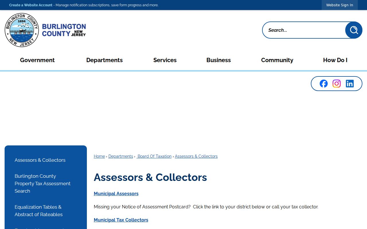
The directory supplies a safe starting route to the municipal assessment resource without suggesting that the tax portal is a verified occupancy database.
Pemberton Township Address Limits
An address trail can show a carefully dated record sequence, not a complete census of a block. Assessment records may list an owner or tax contact. PRESS lists recorded parties. GIS shows geography. USPS normalizes delivery data. A library source may preserve a past household clue. Each source can be valuable, but household membership, protected addresses, and current occupancy are not established by simply combining those names.
New Jersey address-protection programs and other restricted records can override ordinary search expectations. Where an address is marked protected or an agency withholds a field, preserve that boundary. For a question about one person rather than an address chain, use the separate Resident Lookup route and corroborate every result with the proper custodian.