
Pemberton Township Neighbors by Block
A block-level search starts by confirming the parcel, then moves only to the record that answers the next question. GIS can establish geometry and nearby lots. The assessment record can identify the assessed taxpayer. PRESS can identify parties to recorded instruments. Election channels have separate individual-status and county-request routes. These sources describe different facts about Pemberton Township neighbors, and the most important limit is simple: an adjacent parcel, an owner, and a current occupant are not interchangeable descriptions.
| Source | What It Shows About a Block | Access |
|---|---|---|
| County GIS and parcel data | Parcel geometry, block/lot identifiers, address numbers, and mapped context | Viewer is currently reported offline; guide, parcel download, counter, and phone routes remain |
| Pemberton WIPP | Assessment and tax-property data as the live portal exposes it | Municipal portal; exact live field labels were not captured in research |
| Burlington PRESS | Recorded grantor/grantee parties, instrument type, date, and book/page or instrument number | Free basic index with era-specific search rules |
| State voter status and county lists | Individual registration status or a properly requested county list | Self-check and request channels are separate, with restrictions |
| Community-directory layer | No official Township-wide association directory was found | Verify a current group directly rather than inferring a roster |
Use this chain to understand a block without turning a map into a people list. The property record may be dated. A tax mailing address can be outside the Township. A recorded party can be an entity, trust, estate, lender, or tax service. Leave an occupant field blank unless a lawful, independent source supports it.
Pemberton Township Neighbor Parcel Flow
The county guide describes a practical parcel method even though the public Property Viewer and mapping application are currently marked offline. Start with an exact street address and legal municipality. When the map is available, use the parcel locator or geocoder, open the property-boundary layer, and inspect the neighboring polygons. Attribute tables can filter by map extent, show selected features, and export a table within the application’s limits. A popup can have arrows when more than one feature is present.
- Confirm the street spelling, postal label, ZIP, and that the address is in Pemberton Township rather than Pemberton Borough.
- Locate the subject parcel by address or parcel identifier, then note its geometry and block/lot.
- Record only the adjacent parcel identifiers needed for the question, along with the map or download date.
- Check each parcel in WIPP or PRESS for a separately dated assessment or recorded-party fact.
- Move to the Pemberton Township Street Directory only when the question becomes a full named-street record trail.
When the live viewer is unavailable, use the county GIS parcel-download page, the assessor counter, or County GIS at 609-265-5125. The Pemberton parcel file has a December 2015 tax-lot vintage, so it is geographic reference material rather than proof of current ownership.
Pemberton Township Neighbor Parcel Codes
Pemberton’s parcel-locator format is a useful local quirk. The county guide gives the example 0329-823.01-16. In that example, 03 is the Burlington County code, 29 is the Pemberton Township municipal code, 823.01 is the block, and 16 is the lot. A code like this can keep a search anchored when two addresses are similar or a road crosses different local labels. It is a locator, not a claim about a person.
The Engineering Mapping Application guide also documents address geocoding, layers, popups, attribute tables, filters, and CSV export. Its layers include property boundaries, address numbers, road jurisdictions, abandoned rail, highway overlays, waterbodies, municipalities, and the Pinelands region. Those tools make it possible to identify the parcels around a block while retaining the context that may separate them.
Note: Record the parcel identifier with the source date because parcel geometry and ownership information are maintained through different systems.
Pemberton Township Neighbor Ownership Checks
After mapping the surrounding lots, verify a narrow ownership fact in the appropriate record. Pemberton’s WIPP property-tax portal is the municipal assessment route, but its JavaScript-rendered fields could not be inspected in the research pass. It may expose property and tax information after it loads, yet it is not a substitute for a recorded title search. Annual lists are filed in January, and a change after that point may not appear until a later list.
For recorded instruments, Burlington PRESS supports instrument number or book/page, document type and date, block/lot, and owner-name routes. Block/lot searching is stated to work from March 1, 2012 forward. The period from 1965 through February 2012 is owner-name only, and pre-1965 records move to the archive viewer. Record the latest instrument date and type before saying only that a party is shown in the deed index. It does not establish present occupancy.
Pemberton Township Neighbor Election Records
New Jersey’s online voter-status route is an individual self-check, not a block roster. The documented screen asks for first name, optional middle initial, last name, date of birth, and Search. Exact spelling and county details matter. The available output is intended to confirm registration status, and the full current output field set was not exposed during the research pass. Do not use a failed search to infer that a person is not a Pemberton Township resident.
The Burlington County election offices page identifies the Board of Elections and Superintendent offices that handle separate election functions.
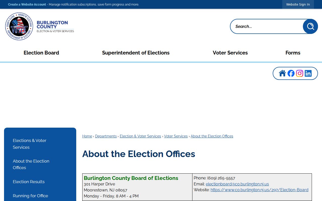
The offices are at 301 Harper Drive in Moorestown, and the Elections phone is 609-265-5229. The County Clerk’s election role is separate from the Superintendent and Board.
The Burlington County voter-registration page explains local registration timing and inactive-status terms.
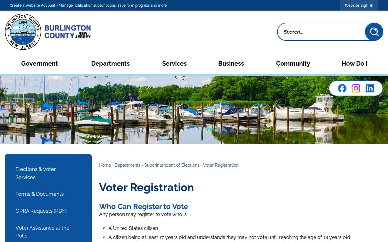
County guidance says registration must be completed 21 days before an election and explains that an inactive voter may need reactivation. That status is not a live address finding.
The County election-results and voter-list page gives the request route for voter registration lists and notes data-format and applicable-charge information.
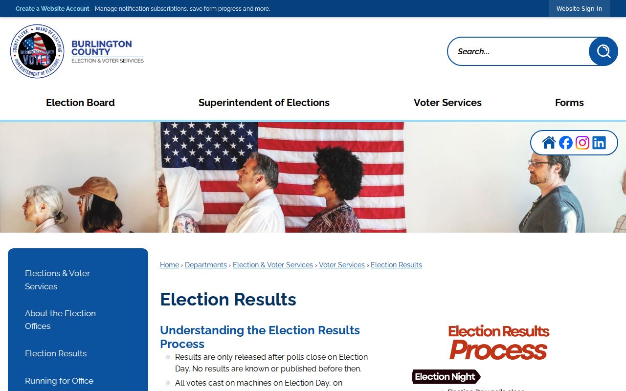
A county list request is a formal route with certifications, delivery choices, and intended-use information. It is not a reason to scrape a self-check endpoint or to create a public neighbor list.
Pemberton Township Neighbor Association Gap
No official umbrella directory of Pemberton Township neighborhood associations, civic clubs, lake communities, or block organizations was located in the research. That is a documented gap, not evidence that no local groups exist. It also means no current association roster should be inferred from a parcel map, a postal label, or a historical reference. Confirm an active group directly through a current official municipal or community contact before relying on its details.
| Official Township-wide association directory | Not located in the research pass; do not invent a list or a membership directory. |
|---|---|
| Local-history resources | Library, newspaper, and archival resources can provide historical community context, not a current roster. |
| Safe next step | Verify a present group through a current official municipal or community channel and respect the group’s own contact rules. |
Lake communities, Browns Mills, New Lisbon, Pemberton Village, the Borough, and the Township can all appear in historical material. Place names help interpret a record’s context, but they should not be converted into an assumption about current Pemberton Township neighbors.
Pemberton Township Neighbor Map Context
Map context matters in the eastern Township. State planning material places extensive areas within the Pinelands and describes development centered on Browns Mills, Pemberton Borough, and lake communities. The GIS layers can show waterbodies, road jurisdictions, abandoned rail, highway overlays, and municipal boundaries before they show a parcel. A parcel that looks close on a screen may be separated by water, a controlled road, or a boundary.
Pemberton Township formed in 1846. Pemberton Borough separated in 1894, and a portion returned in 1965. Older deeds, directories, newspapers, and court entries may use “Pemberton” for a village, borough, township, postal place, or county service. Use the legal municipality alongside the address and parcel code before describing two properties as neighbors.
Pemberton Township Neighbor Source Types
Official sources and commercial neighbor-lookup categories do different work. An official portal is tied to a record custodian, a stated purpose, and a date. A paid compilation can combine public, marketing, and brokered material without proving the identity or current status of a person. Use the record that fits the question, then check it with the custodian when the fact matters.
| Official record route | Commercial compilation category |
|---|---|
| Shows a defined record such as parcel geometry, assessed taxpayer, recorded party, or election-status route | Can merge records from multiple sources and may carry stale, incomplete, or mismatched details |
| Has a named custodian, access rules, dates, and request channels | May not explain source dates, correction paths, or why two similar names were combined |
| Supports a limited fact that can be verified at the counter or through a formal request | Does not prove who occupies a nearby parcel today |
Keep the result limited to the parcel or record fact. That approach protects Pemberton Township neighbors from errors caused by a broad, unverified name-and-address compilation.
Pemberton Township Neighbor Privacy
Public access is record-specific. A parcel’s situs address is where land is located. A tax mailing address is where correspondence goes. A deed identifies recorded parties. None alone confirms a current household. Court, voter, and vital systems display only selected fields, and a missing field does not prove that no underlying record exists. Do not collect signatures, financial identifiers, medical information, minor details, victim information, or protected addresses.
New Jersey’s Office of Information Privacy administers Daniel’s Law protections for covered people’s home addresses and unpublished home telephone numbers. The Address Confidentiality Program can require agencies to use a substitute address for qualifying participants. If a source flags protected information or a covered person requests removal, preserve privacy and verify the status with the proper custodian.
Lawful use. Pemberton Township neighbor research is for personal, lawful curiosity and civic awareness. N.J.S.A. 2C:12-10 and 2C:33-4 prohibit using names, records, or address details to watch, threaten, harass, or harm another person.